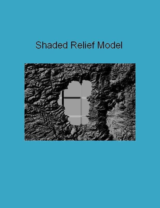
Figure 1. Shaded Relief Model of Lake Tahoe

Figure 2. Slope Map of Lake Tahoe
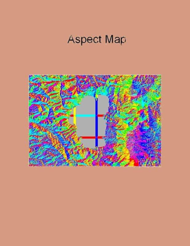
Figure 3. Aspect Map of Lake Tahoe
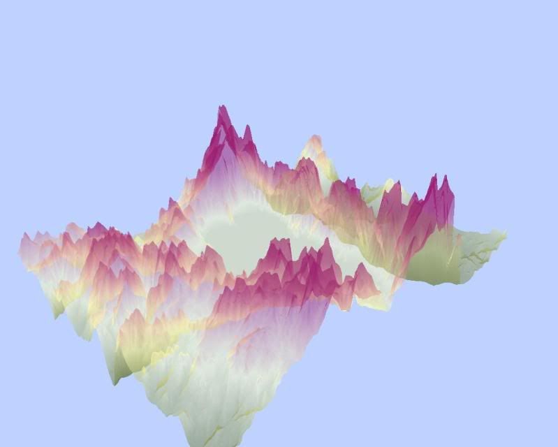 Figure 4. 3D Elevation Model of Lake Tahoe
For the DEM lab this week, I chose to create a digital elevation model of Lake Tahoe. Geologic block faulting created the lake basin approximately 2 to 3 million years ago. Lake Tahoe’s surface elevation is about 6,225 feet above sea level. Surrounding the lake by the Sierra Nevadas (to the west) and the Carson Range (to the east), the mountains’ peaks rise more than 10,000 feet above sea level. Positioned right in between California and Nevada (39.36°N, -120.39°W, 38.84°S, -119.63°E), Lake Tahoe is a common vacation ground for many Californians. I know this because many of the friends that I made while attending UCLA and my friends back in my hometown in Mission Viejo spend many weekends swimming, jetskiing, and camping at this location. I, for one, never visited Lake Tahoe and feel very left out when my friends share their cherished memories. As a result, I decided that creating a DEM in GIS will satiate the curiosity I hold towards this common vacation spot…At least I will be able to interject future conversations regarding this topic with, “Did you know I created a Digital Elevation Model of Lake Tahoe that used the North American Geographic Coordinate System of 1983?” That’ll show ‘em.

No comments:
Post a Comment