Following the ArcMap tutorial was very easy. If I did not understand the directions, there were also clear visual representations of the actions I am required to do. Although I needed to be guided in order to see the different facets ArcMap had to provide, I felt like a lot of my time was spent with ArcMap essentially holding my hand, rather than letting me discover thing independently. However, following directions got me out of a lot of trouble except when I had issues with exporting and importing files.
Admittedly, I know I am mostly responsible for this problem, but the first time I completed the task I did not have a flash drive to save everything; I was working off the C drive present on the computer. My second attempt introduced the availability of a flash drive to save my work. This introduction made me realize that I should not only avoid depending on the S drive but also the C drive. Although I had all of the files transferring back and forth between the S and C drive, I did not have all of the files that existed in the S drive copied onto my C drive. This became an issue when I had to incorporate files from ArcCatalog into one of my maps. I was not able to edit or alter my attributes table in the tracts layer of my map. Since I assumed that all the answers were found in the ArcMap Tutorial, I felt like my dependency on the tutorial played a role in this particular frustration.
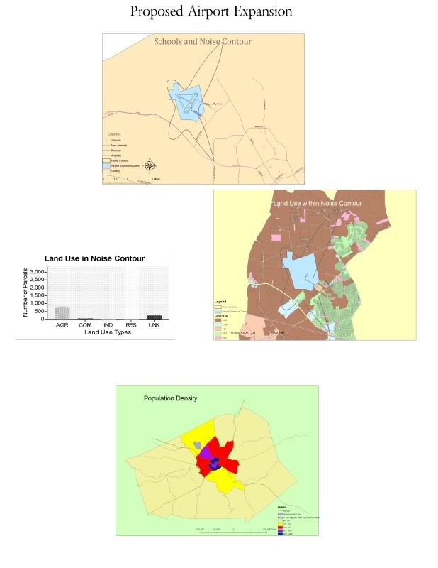
As a novice to GIS, I am not sure as to whether or not these 5 exercises were too much or just the right amount as an introduction to GIS. The reason for my uncertainty is mostly based off a need for more time spent discovering and personally “connecting” with the ArcMap application combined with the awareness that this is a 10 week course. As a student who attemped this lab 3 times, I still focused more on not straying away or clicking the wrong button for fear of losing all that I acquired and the consequence of redoing the exercise all over again. I confess that I now know where to go to place a legend into my map or how to change the symbols depicted on the map, but I want to know the bigger picture. I wish my exercise helped me independently think of a solution to a problem rather than giving me the step by step direction regarding the construction of a road between an airport zone and school zone that is within the noise contour.
Perhaps I am overanxious and as a result I am oversimplifying the complexities of ArcMap. One thing I am afraid of is the necessary awareness in the conversion of map layers into the same units. I wish considerations such as keeping like units would be accounted for in the ArcMap software. This sort of technical awareness can be comparable to spell check on Microsoft Word. The underlining of the misspelled word helps the author realize his typo.
I also wish there was more time spent in explaining what the purpose of all the different things ArcMap told me to do. Why the editing tool is so useful in various aspects of map making and layering. Though I know the potential of this software will be realized the more I use it. Nevertheless, I never understood how much power a map maker REALLY has until I started using ArcMap. A message can be manipulated through histograms and graphs of map that can be viewed at any scale layered with any road system, school system etc that can all be derived from ArcMap.

No comments:
Post a Comment